


Purpose
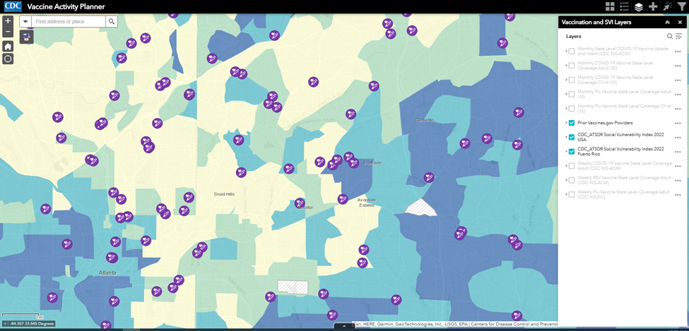
View available COVID-19, flu, and RSV vaccine coverage data using interactive maps, trend lines, bar charts, and tables.
Vaccine Activity Planner
Step 1. Search for your area.
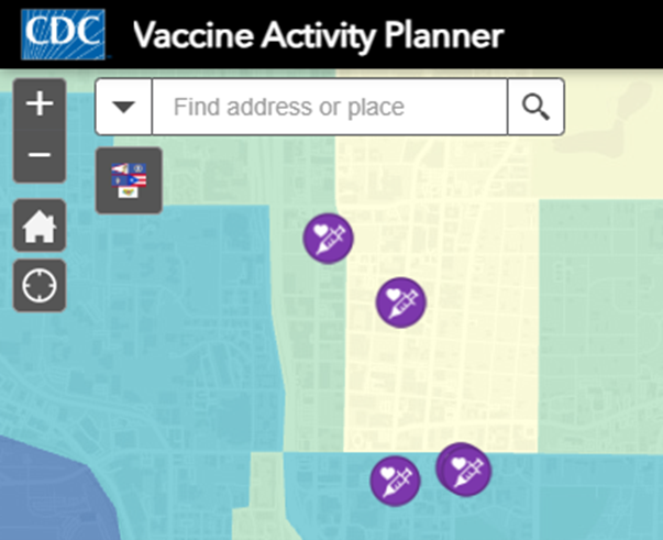
Step 2. Explore layer list.
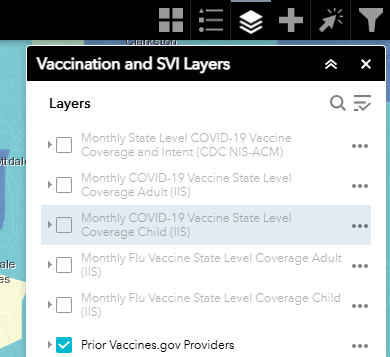
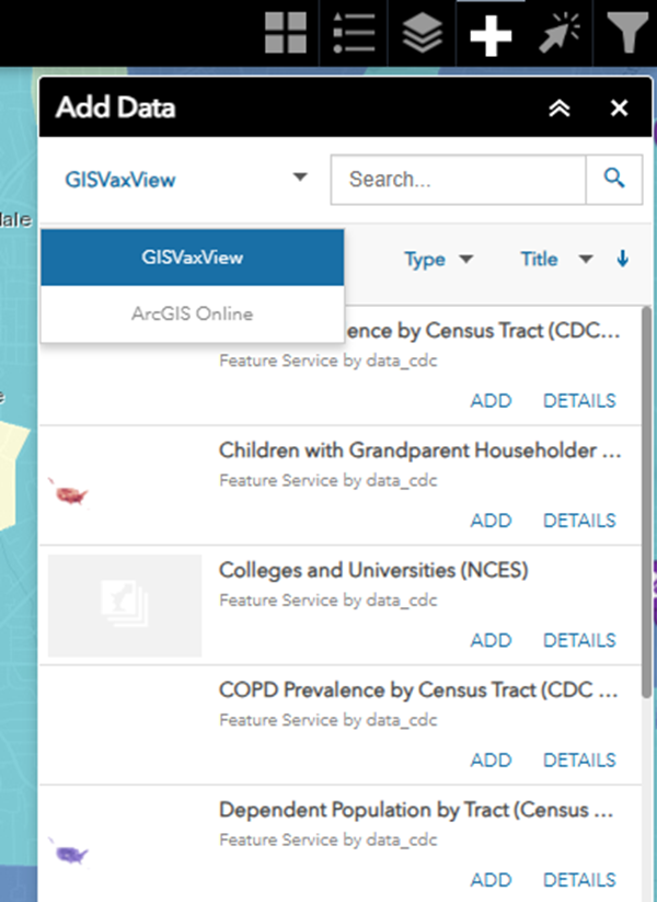
Step 3. Add data from the GISVaxView curated list or ArcGIS Online.
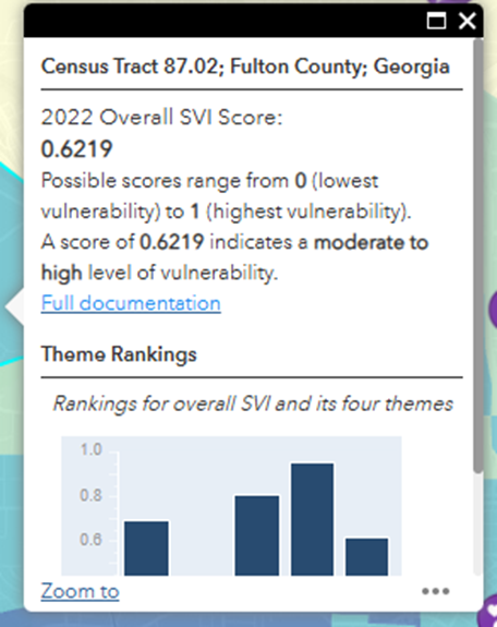
Step 4. Select, filter, and analyze.
Content Source
Error processing SSI file
About This Page
Published: September 16, 2024
Updated: June 17, 2025
This page was last updated on this date. Updates may include minor edits, image changes, or other modifications to page content.
Reviewed: June 17, 2025
The information on this page was last reviewed by subject matter experts to ensure accuracy.