Rwanda Hosts the First Regional GIS Training for PEPFAR-Supported Countries in Africa
By Dr. Janise Richards and Josiane Uwineza

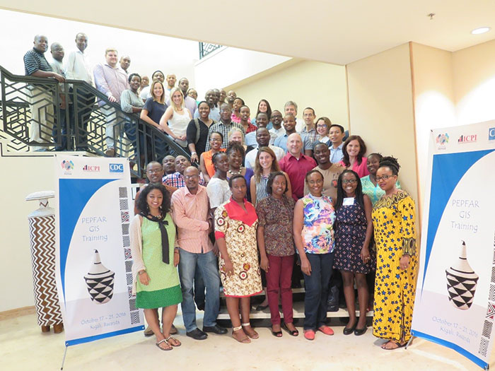
45 people from 6 different African countries attended the GIS training in Kigali, Rwanda. Photo: CDC Rwanda
In a data-driven, infectious disease program, such as PEPFAR, maps are an effective tool in understanding the course of the epidemic and the impact of intervention activities. PEPFAR’s focus on effective targeting of the response to provide the right services to the right people at the right time in the right place is key to achieving an AIDS-free generation. Visualization of HIV data often provides valuable insight into geographical differences in the epidemic. Geospatial Information Systems (GIS) are an important tool to link HIV program data to geographic information. To use GIS tools effectively, PEPFAR staff must be trained.
CDC Rwanda was delighted to host PEPFAR’s first regional training on GIS in Africa October 17-21, 2017, at the Kigali Marriott Hotel. Designed for PEPFAR staff from throughout Africa, the training was developed and implemented by the Interagency Collaborative for Program Improvement (ICPI). Forty-five CDC and USAID staff from 6 African countries attended this first regional training to learn spatial analysis and data visualization skills for use in their PEPFAR programs.
The training focused on building basic GIS knowledge and skills. However, case studies from PEPFAR countries and sharing of participants’ personal experiences provided more advanced knowledge and skills on how to effectively use PEPFAR-specific data. Through individual consultations, the four ICPI trainers addressed the specific needs of each participant by providing country- and issue-specific GIS assistance and additional in-depth GIS exercises. The training impact should be noticeable within the near future as countries are preparing to start their COP17 activities.