Building Local GIS Capacity in Haiti to Improve Program Delivery

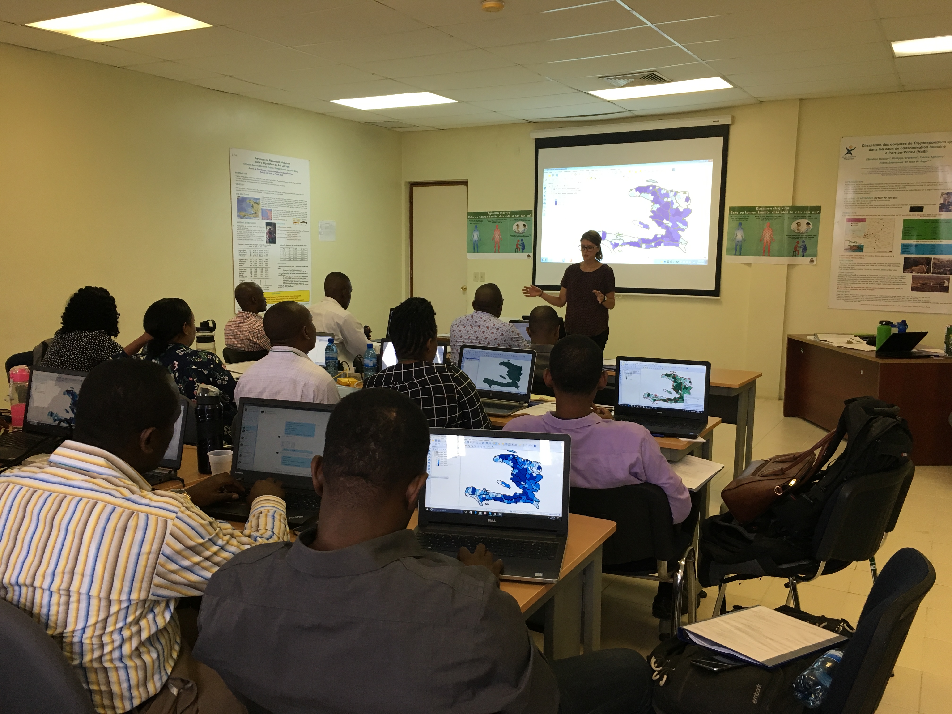
Figure 1. Training participants following along a live demonstration to add spatial data to a map.
Geographic Information Systems (GIS) have become an increasingly critical tool for improving public health practice. The Strategic Information and Surveillance teams in the CDC Haiti country office routinely use GIS technology to analyze and map epidemiological and program data to better understand distribution of disease and spatial relationships of key health investments. Wanting to share this technology with partners, CDC Haiti hosted a Quantum GIS training course in 2017 for all CDC implementing partners as well as Haitian Ministry of Health colleagues working in HIV care, treatment and surveillance.
Quantum GIS (QGIS) is an open source GIS platform used to analyze and display geospatial data. Maps created using a GIS serve as an important project management tool that can illuminate geographic gaps or overlap in health service coverage, or identify areas of high disease transmission. In early 2017, a CDC Haiti implementing partner expressed interest in creating a map to show the location of HIV testing sites and the distribution and coverage areas of community health workers. Given partner interest, CDC developed and hosted a QGIS training course to provide partners with the knowledge and spatial analytic skills to create such maps.

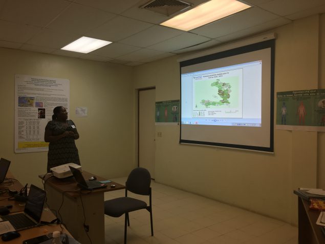
Figure 2. Training participant presenting a map she created with her organization’s program data.
The four-day, HIV-specific training included 17 participants and covered relevant topics such as the fundamentals of GIS and uses, types of GIS data, preparing data in Excel for importation into QGIS, how to create spatial data files, and more advanced topics such as joining data tables in QGIS, and an overview of map elements and design principles. Participants practiced the GIS techniques using their own program data, and at the end of the training, participants presented maps using program data specific to their organization.
Following the training, CDC contacted participants to see how they were employing their newly acquired GIS skills to improve program performance. The implementing partner who requested the GIS training created a map of community health worker coverage for her organization, which has increased program efficiency by informing a reduction of overlap in community health worker efforts. This same participant is now looking into mapping all testing sites in her organization’s network.
As CDC Haiti and its partners strive to move the country toward HIV epidemic control, the efficient and innovative use of epidemiological and program data will play a key role in guiding project implementation. CDC Haiti will continue to engage local partners to build GIS capacity and to improve program delivery and strategic planning.